Ride along with Capt. Doug West on the oyster-planting buyboat Robert Lee.
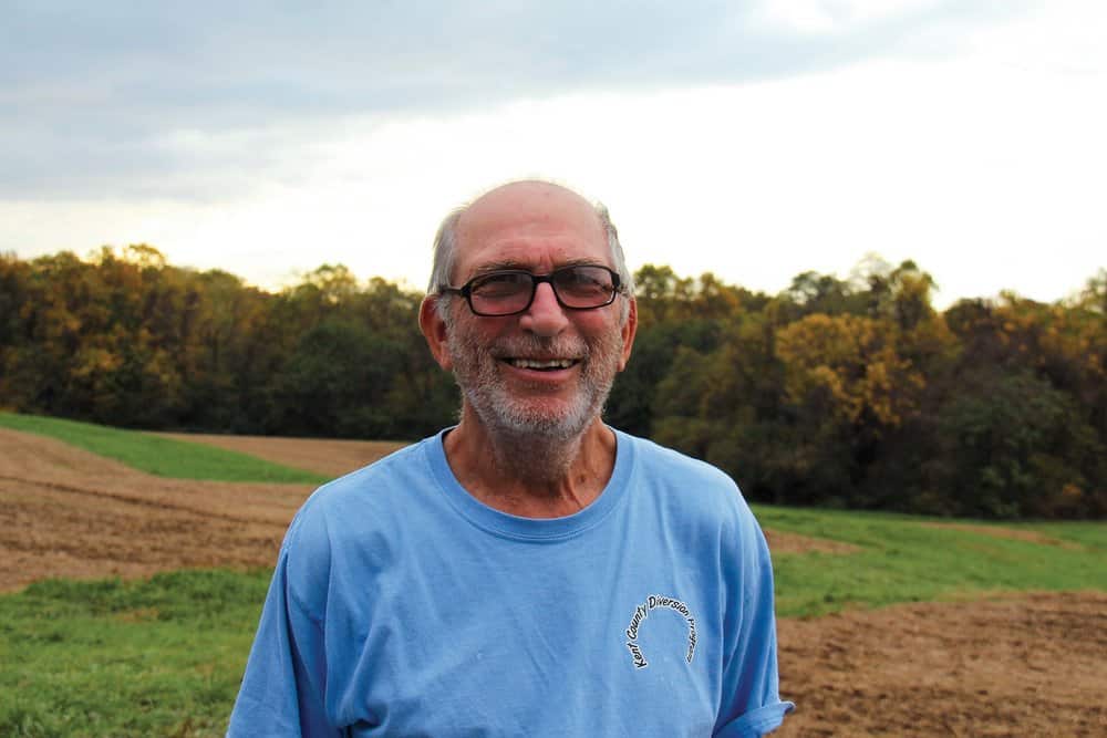
Though it’s the end of June, the morning sky and the Bay are gunmetal grey, and a smart breeze has corrugated the Choptank River. Megan Munkacsy, Oyster Restoration field specialist with the Oyster Recovery Partnership (ORP), greets me at the University of Maryland Center for Environmental Science’s Horn Point Oyster Hatchery in Cambridge, the largest oyster hatchery on the East Coast. At the dock is Captain Doug West aboard the Robert Lee, his 72-foot steel buyboat, built in Baltimore in 1946 as a supply vessel. West found and bought the boat at a salmon farm in Maine, and brought her to Long Cove Marina in Rock Hall to repair and modify for work in Maryland’s oyster shell replenishment projects. He cut her in half and increased her beam by eight feet in order to increase her hauling capacity, and he renamed her after his great grandfather—not the Confederate general.
He also replaced her house and most of the decking and began hauling and placing oyster shells on contract to the State of Maryland. Soon, ORP came to him for help with planting as they scaled up for more oyster bar restoration work. “She draws three and a half feet light and a little over five feet with a load of shell, which allows me the freedom to get into some of the tighter restoration spots,” he says. He keeps the boat in a small creek near Chestertown.
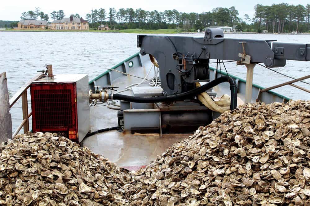
This morning, her foredeck is piled high with three mini-Everests of reclaimed oyster shell. “We only have five tanks to do today, about six million spat,” West tells me as I climb aboard. I see no tanks, and so I assume the firehose on deck will be spewing baby oysters out of the hold. Wrong. The shells are measured by the tank-load. “The shells are put in spat tanks. They [the biologists] heat up the water and pump in the spat,” explains West, who has been planting oysters for Horn Point, the Department of Natural Resources and others for over 20 years. “The spat have a certain limited mobility and attach themselves to the immersed shell.” To illustrate, he points to a varnished half-shell dotted with several baby oysters about the size of peppercorns. “Once they’re done moving, they go wherever the shell goes.” Oh.
While West backs the Robert Lee out of the slip, Munkacsy boots up a laptop, which is loaded with charts overlaid with outlines of the famous Yates Bars. [Chesapeake Bay Magazine, Lone Cedar Tree Opposite Shore, November 2017.] C. C. Yates, an early ecologist concerned about the precipitous decline in the Chesapeake oyster population, managed the first comprehensive survey and mapping of Maryland’s oyster bars from 1906 through 1912 by laboriously surveying and mapping Maryland’s natural oyster bars under the auspices of the US Coast and Geodetic Survey. “Another survey in the 1980’s helps inform the mapping,” says Munkacsy, “but we still have the Yates bars, too.”
We run down the Choptank, round Hills Point Neck in a gusty south-by-southwest wind, then duck behind Taylors Island and chug into the Little Choptank River. West slows the boat as we reach three closely spaced target sites off of McKeil Point and inside Madison Bay. At the laptop, Munkacsy brings up the first site, delineated onscreen by a lime green banana-shaped splodge. West stops the vessel overtop the site and goes down on-deck to switch on the 150-hp pump attached to a boom-mounted firehose while Munkacsy and Horn Point intern, Francesca Galasso, head to the stern with a sensor to take water temperature, salinity, dissolved oxygen, conductivity and pH readings from the surface and the bottom. “We work to figure out where good spawning happens naturally,” says Munkacsy, “and then try to plant there.” KKK
Planting season usually runs from April to Mid-August, but this year, low salinity due to abundant spring rains forestalled early planting. Now, salinity has increased enough to plant. When she comes back to the wheelhouse, Munkacsy gives West the nod. He puts the engine in gear and watches the laptop as he maneuvers the boat into position. The laptop’s combination GPS and Geographic Information System (GIS) produces a track-line that shows us exactly where we are in relation to the bed. “I have to make sure we’re putting oysters in the right place,” says Munkacsy. “We log data onsite to be sure they don’t replant the same place over and over again.”
When the track-line shows that the vessel, which had drifted, is back over the splodge, West raises plywood lapboards to open long slots on deck and turns on the firehose via controls in the wheelhouse. “I used to have do to all this manually,” he says as he watches the firehose whittle away at the first mountain of shells. “So, I needed someone in the wheelhouse while I was on deck. Now I can do it all from here.”
As the first mound of spat-on-shell slides gradually overboard, West maneuvers the boat to broadcast the seed. When he drifts outside the site, he shuts off the hose, makes a looping turn, and waits until he’s back inside before continuing. “Usually we have ten tanks, but today we have only five for some real small spots, which is tricky,” he says. The small spots run from a quarter of an acre to just over an acre. The onscreen track-line looks like a kid’s squiggle drawing as West works to keep the planting within the lines while evenly filling the bed.
“Each day, the entities involved in the project get a report—NOAA, DNR, hatchery and whoever else,” says Munkacsy, “So, we know the number and density of the planting.” Follow-up on each site begins six weeks after planting when University of Maryland divers go out to see if the planted oysters are surviving, then make two more checks—one at the three-year mark and another at six years. The Maryland Interagency Oyster Restoration Work Group, a high-level steering committee of scientists, engineers, industry representatives, environmentalists and agency representatives, has set the parameters for successful oyster bar restoration at the three- and five-year survey points to include that a site must have multiple age classes present; meet the required shell budget; meet the required reef footprint and reef height metrics; meet a minimum biomass metric; and meet a minimum oyster density metric.
Harris Creek, which was planted several years ago in the Choptank, is apparently a success story. “In the first report, it had hit about 98 percent of all the criteria. And after three years, it had hit about 96 percent of all five criteria,” says Munkacsy. “That’s pretty exciting!”