The contours of the Chesapeake’s tidal waters are changing literally before our eyes, due to rising sea level and subsiding land. It has never been more important to update the bathymetry of the Bay and its tidal rivers, detailing the three-dimensional shape of its basin underwater and, whenever possible, the character of the bottom. Certainly, its above-surface views are still classically beautiful, but consider just the importance, commercial and recreational, of accurate depth information for navigation. Add in the new challenges of documenting ecosystem shifts due to climate change and attempting to predict trends in those shifts, plus the need to assess how those shifts affect water quality and habitat value for various Bay critters.
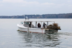
That challenge resolves itself into a continuous need for accurate production and integration of billions of precise, individual data points recorded by boats on the water. Who would take on such a job in the Chesapeake? How? What would those jobs cost, in people, equipment, and time?
In a bit of happy synergy for the lower Chesapeake, it turned out twenty years ago that there was an opportunity for widespread charting hiding in plain sight at the at the Center for Coastal Resources Management (CCRM) of William & Mary’s Virginia Institute of Marine Science (VIMS). It lay, in part, in the widespread availability of digital multifunctional displays (MFDs) running GPS integrated with sonar, including high frequency side-scan. Such technology is now within the reach of recreational anglers and watermen with specific uses for the technology and willingness to learn to read it. Inexpensive SD memory cards make data storage and transfer easy.
Non-sonar-users frequently express surprise at how many of us are already using gear like this, even on small boats. It teaches a lot more than just where the fish are, putting us in direct connection with the three-dimensional underwater worlds beneath our hulls. This correspondent, for example, has learned at least as much from sonar with GPS about how the Chesapeake’s currents shape its basin and distribute materials within it as about its fishes’ behaviors. And the capability to record and share GPS-referenced sonar data logs—to “crowd-source” them—has been valuable for scientific processes such as designing, permitting, and building restoration oyster reefs.
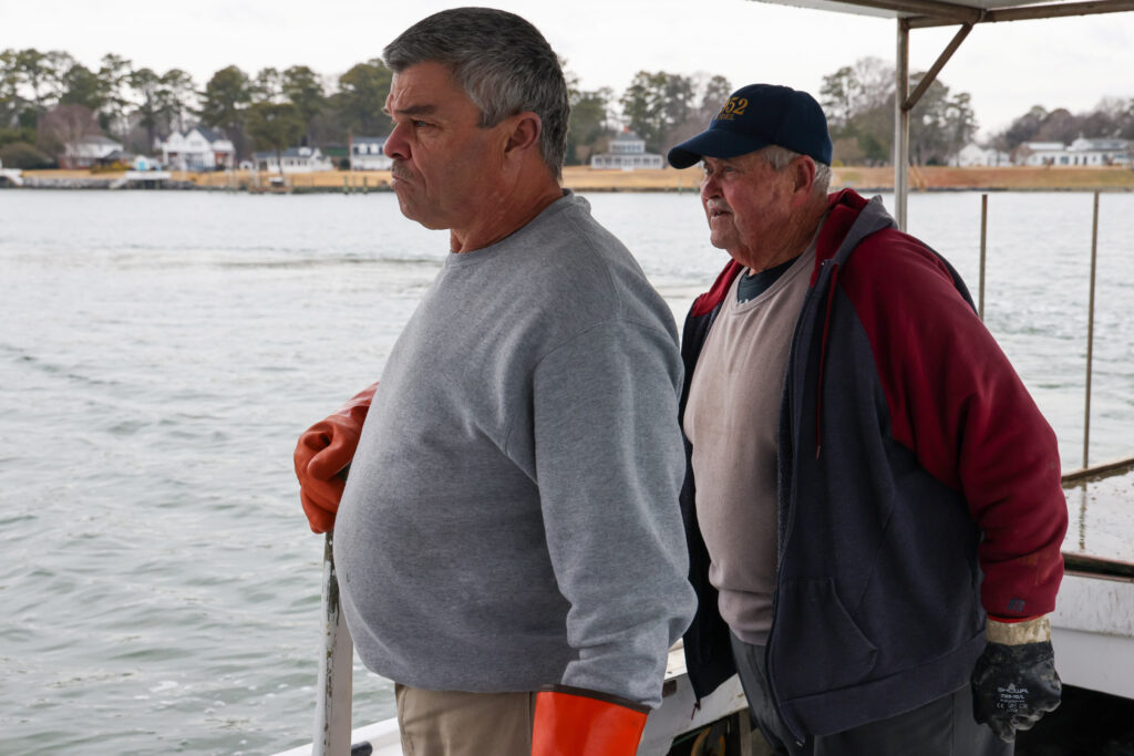
That happy synergy of crowd-sourced, GPS-referenced sonar lay—and still lies–in a partnership between CCRM’s Marine Debris Program–specifically removal of derelict crab pots—and its Shallow-Water Hydrographic Observation and Assessment Logging (SHOAL) program. The former actually began as a program for watermen 2008-2012 funded through NOAA. At that time, CCRM bought 70 Humminbird side-scan sonar/GPS units and watermen began using them to spot and remove derelict pots. Crucially, they also recorded GPS-indexed bathymetry that Geographic Information System (GIS) specialists at CCRM could download.
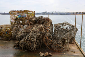
In the past decade, the CCRM Marine Debris Program has expanded significantly, including administration of a national program funded through the NOAA Marine Debris Program that stretches from Pacific islands to the Chesapeake. The expansion includes a more permanent home for the CCRM Marine Debris Program and with it, the SHOAL program (now using Garmin electronics). In addition to watermen, contributors to SHOAL now include, logically, VIMS research vessels of all sizes and, more recently, Virginia recreational boaters of the United States Power Squadrons (whose members use their own electronics). This interactive map shows how much territory the program has included. The reference points from watermen are remarkable for their coverage, but focusing in on the map still shows how much more ground there is to cover.
Now the SHOAL Program is inviting other sonar/GPS-equipped boaters such as cruisers and anglers to join this community-based, “citizen-science” effort. It’s a natural for Virginia’s broad network of angling clubs (whose members can always choose NOT to disclose favorite spots). If participating in the VIMS CCRM SHOAL program sounds intriguing, you can sign up here, as my skiff and her Lowrance Elite FS9 have done. Join us!