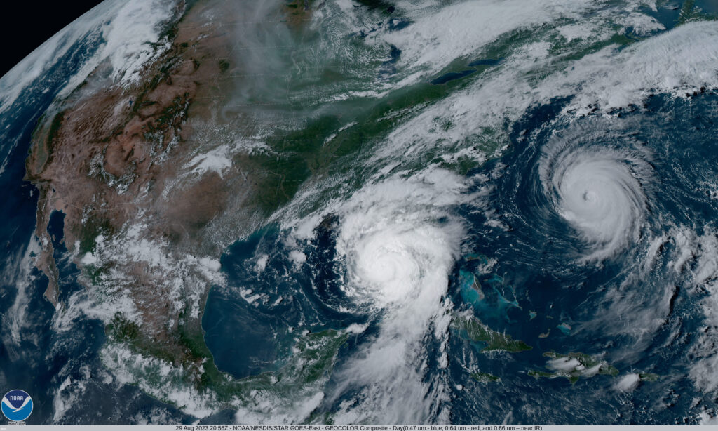
NOAA has released its forecast for the 2024 Atlantic hurricane season and the East Coast will need to be especially vigilant this year.
NOAA’s National Weather Service forecasters at the Climate Prediction Center put the chance of an above-normal hurricane season at 85 percent.
NOAA predicts that between 17 and 25 named storms (those with winds 39 mph or higher) will form. Of those, eight to 13 are expected to become hurricanes, including four to seven major hurricanes with winds 111 mph or higher.
What’s behind the prediction for this very busy hurricane system? One of the strongest El Ninos ever observed is expected to quickly transition to La Nina. NOAA says near-record warm ocean temperatures in the Atlantic Ocean will combine with La Nina conditions in the Pacific and reduced winds—all of which can help tropical storms to form.
")
Regardless of how many storms wind up forming in the Atlantic this season, government leaders says it’s important to be prepared at any time.
“Severe weather and emergencies can happen at any moment, which is why individuals and communities need to be prepared today,” said FEMA Deputy Administrator Erik A. Hooks. “Already, we are seeing storms move across the country that can bring additional hazards like tornadoes, flooding and hail.”
As we wait for the storms that may arise in the Atlantic, here are the names that have been chosen for Atlantic storms by the World Meteorological Organization:
")
Along with NOAA’s announcement of the expected hurricane threats ahead, the agency is also highlighting the new technology it’s using to analyze and forecast tropical storm activity.
The National Hurricane Center (NHC) will begin issuing an experimental version of the forecast cone graphic that includes more inland watches and warnings to communicate the hazards communities further inland may be facing—an important piece of information for the Chesapeake Bay region. NHC will also update the public more frequently than the six-hour interval between full advisories when updates to storm surge or wind warnings are needed.
There are two new forecast models going into use. The first hones in on the ocean’s role in driving hurricane intensity, while the second predicts the probability that a storm will rapidly intensify.
And NOAA will use observation tools with cool names like Directional Wave Spectra Drifters (DWSDs), which are deployed from hurricane hunter aircraft, and used together with Saildrones, uncrewed surface vehicles deployed at the start of hurricane season for real-time data. 11-12 of these Saildrones will be deployed this year. Dozens of underwater gliders will also be deployed off the East Coast and in the Caribbean and the Gulf of Mexico.
“With another active hurricane season approaching, NOAA’s commitment to keeping every American informed with life-saving information is unwavering,” said NOAA Administrator Rick Spinrad, Ph.D.
Hurricane season runs from June 1 to November 30. NOAA typically issues a second hurricane outlook in August, just before the most active part of the season.