The response team working in the aftermath of the tragic Francis Scott Key Bridge collapse is working faster than many thought possible to clear the Patapsco River of wreckage and make the river passable—at least to shallow-draft vessels.
Just six days after the bridge was struck by the container ship Dali and came crashing down, the first vessel passed through a temporary alternate channel that opened at 3 p.m. Monday. The tugboat Crystal Coast pushed a fuel barge carrying jet fuel to Dover Air Force Base, where it supplies the Department of Defense, through the temporary channel.
By Tuesday, a second temporary channel opened, this one near Hawkins Point.
The Captain of the Port opened the channels at Hawkins Point and the northeast side of the main channel for “commercially essential vessels” like the Crystal Coast. You can see the tug carefully pass under the temporary channel in this Coast Guard video:
U.S. Coast Guard video by Petty Officer 2nd Class Taylor Bacon
“This will mark an important first step along the road to reopening the port of Baltimore,” said Capt. David O’Connell, Federal On-Scene Coordinator, Key Bridge Response 2024. “By opening this alternate route, we will support the flow of marine traffic into Baltimore.”
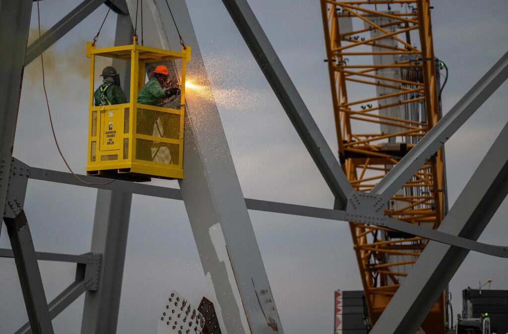
The Key Bridge Unified Command started cutting operations on Sat., March 30 to remove the hulking pieces of bridge from the river. The wreckage has blocked all ship traffic in and out of the Port of Baltimore since Tuesday, March 26th. The longer port traffic is closed, the bigger the hit to local jobs and the region’s economy.
The two temporary channels offer a little relief, at least for some port traffic. The boats allowed to use the temporary channels will be given permission at the discretion of the Captain of the Port.
It’s part of what the response team is calling “a phased approach to opening the main channel.” Both new channels will be marked with government lighted aids to navigation, but may only be used during daylight hours. The first has a controlling depth of 11 feet, a 264-foot horizontal clearance, and vertical clearance of 96 feet. The second is slightly deeper and higher with a controlling depth of 14 feet, a 280-foot horizontal clearance, and a vertical clearance of 124 feet.
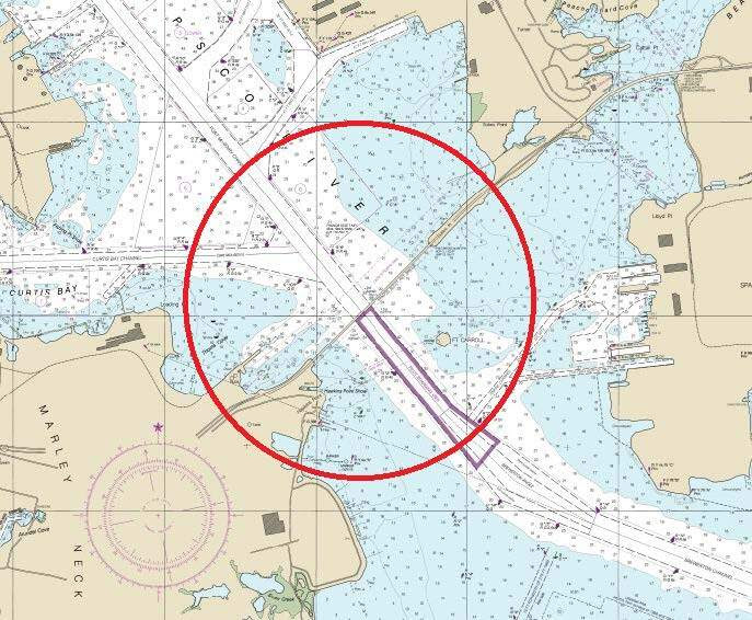
The 2,000-yard safety zone around the bridge site stays in effect for the safety of crews. When the temporary channel is ready to open, the Captain of the Port will announce it in a Broadcast Notice to Mariners on VHF-FM marine channel 16, and will provide updates to mariners there throughout.
Meanwhile, demolition crews are working to cut the collapsed bridge trusses into pieces. Two crane barges, a 650-ton crane and a 330-ton crane, are working to lift and transfer the pieces to a barge. That barge will travel to Tradepoint Atlantic in Sparrows Point to be offloaded. It will end up at an unspecified disposal site.
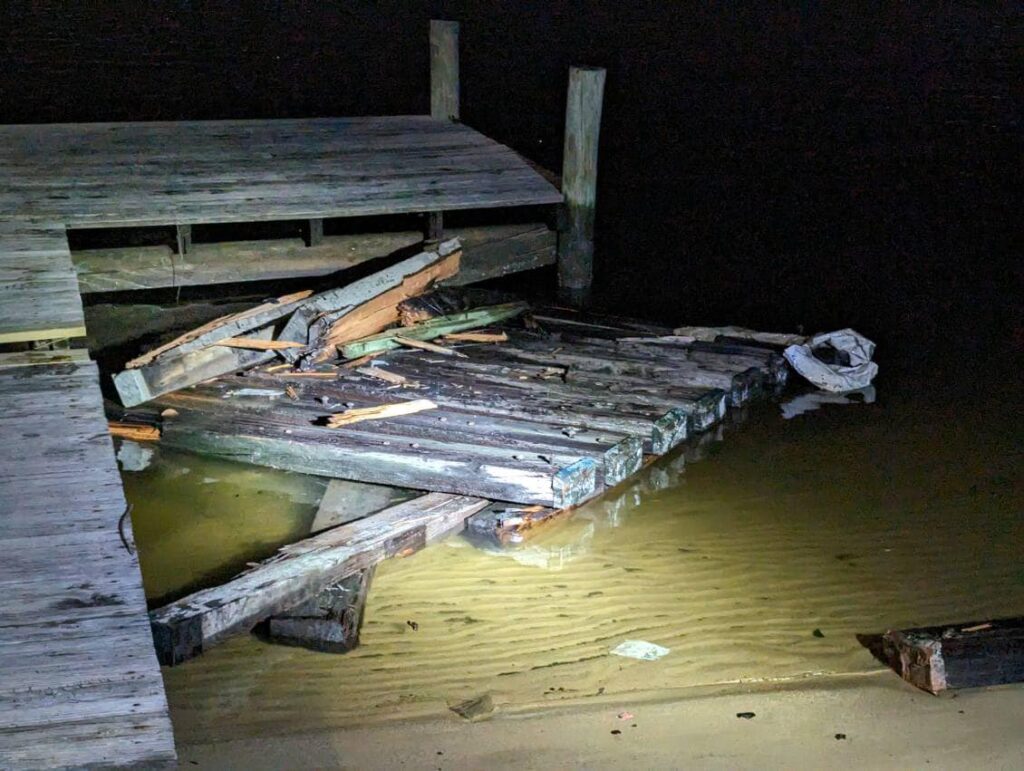
There have already been reports of debris from the bridge collapse washing up along the waterfront. Photos were posted on the community Facebook page for Riviera Beach, Maryland, downriver from the Key Bridge, showing what may be wood bridge pier materials stained with blue bottom paint from the container ship Dali.
The Key Bridge Unified Command has established a Debris Reporting Hotline. If anyone encounters any debris they believe to be from the incident, please call (410) 205-6625.