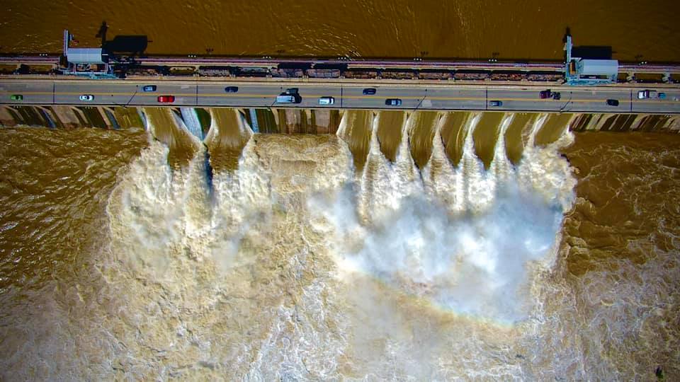
Operators of the Conowingo Dam had to open an unusual number of floodgates to combat heavy river flow that resulted from the remnants of Ida—and its impacts may be felt for days to come.
After the former Hurricane Ida dumped inches of rain over the Mid-Atlantic in very short order, Exelon, which operates the dam, began operating at spill conditions and opening flood gates. At one point Thursday evening, 16 flood gates were open.
MD 222 (Susquehanna River Road) in Port Deposit had to be closed down due to flooding. The Maryland Department of Transportation State Highway Administration (MDOT SHA) explained, “because the river drainage basin extends through Pennsylvania and into New York, the floodgates may need to remain open for several days.”
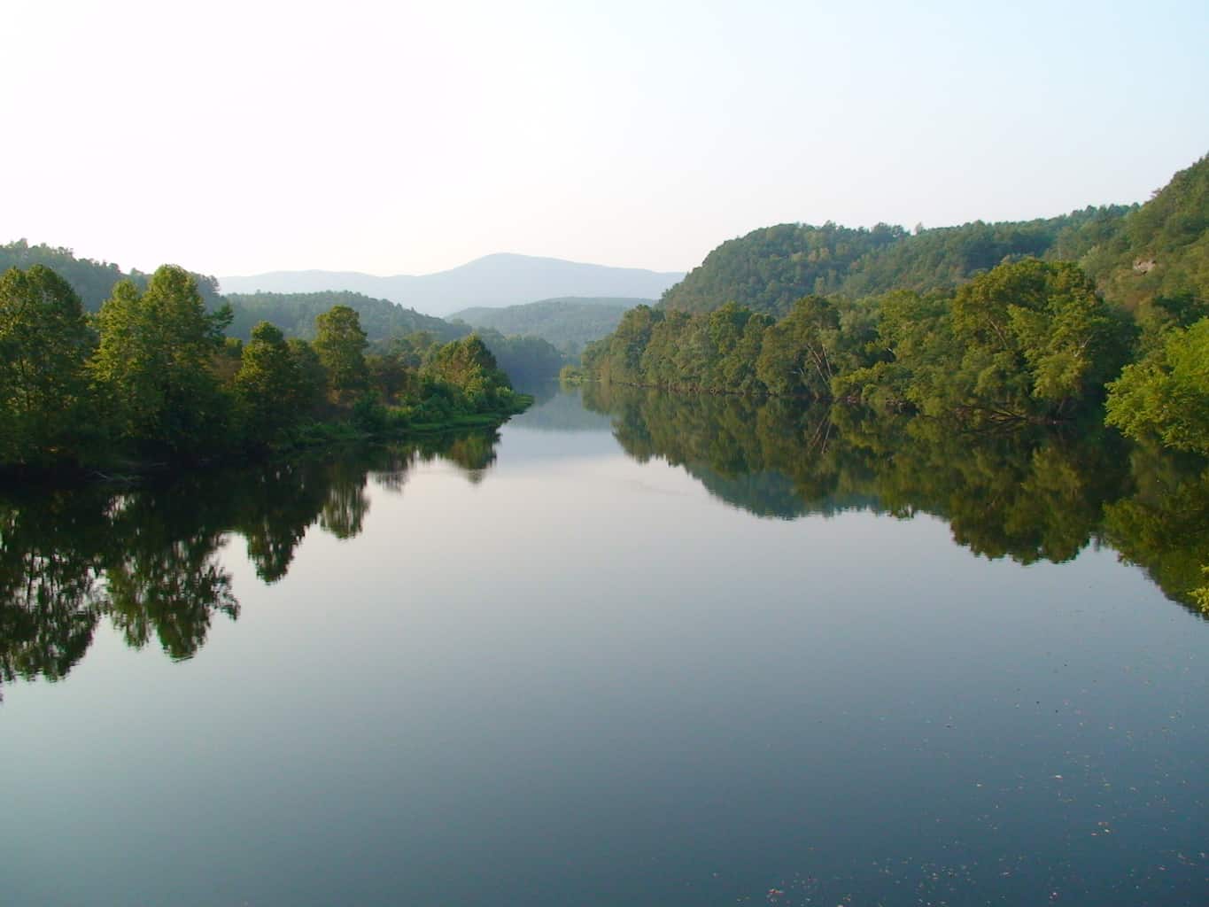
The Susquehanna River drains the largest watershed in the Chesapeake Bay, accounting for 55 percent of the freshwater flowing into the Bay. When the dam’s floodgates open, sediment and hazardous debris are pushed into the river and down the Chesapeake.
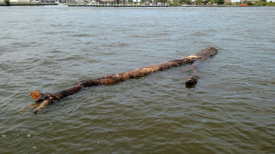
The Coast Guard warned boaters in a marine advisory, “Large amounts of debris and logs are possible, and buoys may be riding low due to increased current. All mariners are requested to use extreme caution while transiting the area.”
Some 12 hours after the flooding peaked, the Coast Guard issued one advisory warning of a 40-foot-long, 12-inch-thick tree in the Elk River.
Boaters around the Elk and Sassafras rivers and in the area of Turkey Point reported trees, stumps, and plastic trash littering the water along with uprooted seagrass.
By Friday afternoon, the number of spillgates open was down to 10, and by Sunday the number was zero. But debris can take days to wash down the river into the Bay. The Maryland Department of Natural Resources shared several photos of large trees, logs, and other floating hazards downstream.
John Gallagher, Chief of DNR’s Hydrographic Operations, tells Bay Bulletin, “Coming across the Bay Bridge on Thursday you could see the muddiness of the water. You can tell we got a big inflow of water.”
Where exactly the debris will be most severe depends on the wind speed and direction. That will determine how quickly it flows and to which location, Gallagher says. “For example, a northwest wind will push things toward the Eastern Shore.”
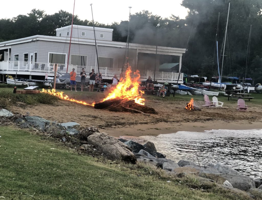
Beachgoers at Podickory Point in Annapolis found debris on their beach, but made the most of it: they used some of the logs and branches to build a bonfire.
Gallagher says that more calls than usual have come in reporting logs in the water, but they haven’t been overwhelming.
In 2018, one of the rainiest falls on record, high water flow forced the opening of Conowingo Dam floodgates and sent large logs and debris down as far as Annapolis, making boat navigation difficult to impossible in some areas. Gallagher says this debris event is not rising to the level of 2018, when “calls were coming in nonstop and it was pretty much a Baywide event,” he tells us.
-Meg Walburn Viviano