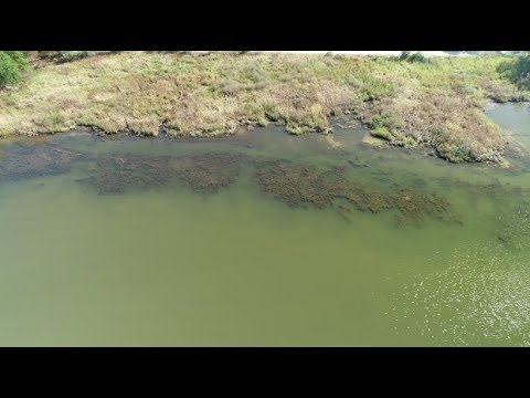
Imagine the possibilities if a river’s health could be measured using a drone high overhead. The Magothy River Association is pioneering a new method of mapping underwater grasses, using drone footage and Google Maps. And so far, scientists say the findings are positive.
Cheryl Costello shows us the drone’s-eye view of the Magothy’s expanding underwater vegetation.